
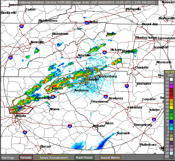
Twenty-six North Carolina counties are under a tornado watch today, Monday April 20, until later this evening.
A tornado watch means that the potential exists for the formation of a tornado. “When a watch is issued, you should go about your normal activities,” reads a passage from the National Oceanic and Atmospheric Administration’s website. “But keep an eye to the sky and an ear to the National Weather Service’s weather radio or local radio and television stations for further updates and possible warnings.
“A tornado warning, on the other hand, means that [the weather pattern] is occurring or is imminent based on doppler radar information. You should move indoors to a place of safety.”
The forecast also calls for hazardous weather later in the afternoon and evening, predicting scattered thunderstorms across the area — some of which may be severe.
North Carolina counties affected by the watch are: Alexander, Avery, Buncombe, Burke, Cabarrus, Caldwell, Catawba, Cleveland, Davie, Gaston, Haywood, Henderson, Iredell, Jackson, Lincoln, McDowell, Macon, Madison, Mecklenburg, Mitchell, Polk, Rowan, Rutherford, Transylvania, Union and Yancey.
“A cold front will cross the area today, bringing another round of scattered thunderstorms,” reads the report from the NWS. “Some of these storms may be severe, with damaging winds and large hail. In addition, isolated tornadoes will be possible, mainly across the Piedmont of the Carolinas and Northeast Georgia. Water levels will remain high in area rivers and streams. Although the storms will be fast moving, heavy rainfall is possible and isolated flooding may develop.”
The tornado watch expires at 8 p.m., but WNC may continue to see rain into the night.