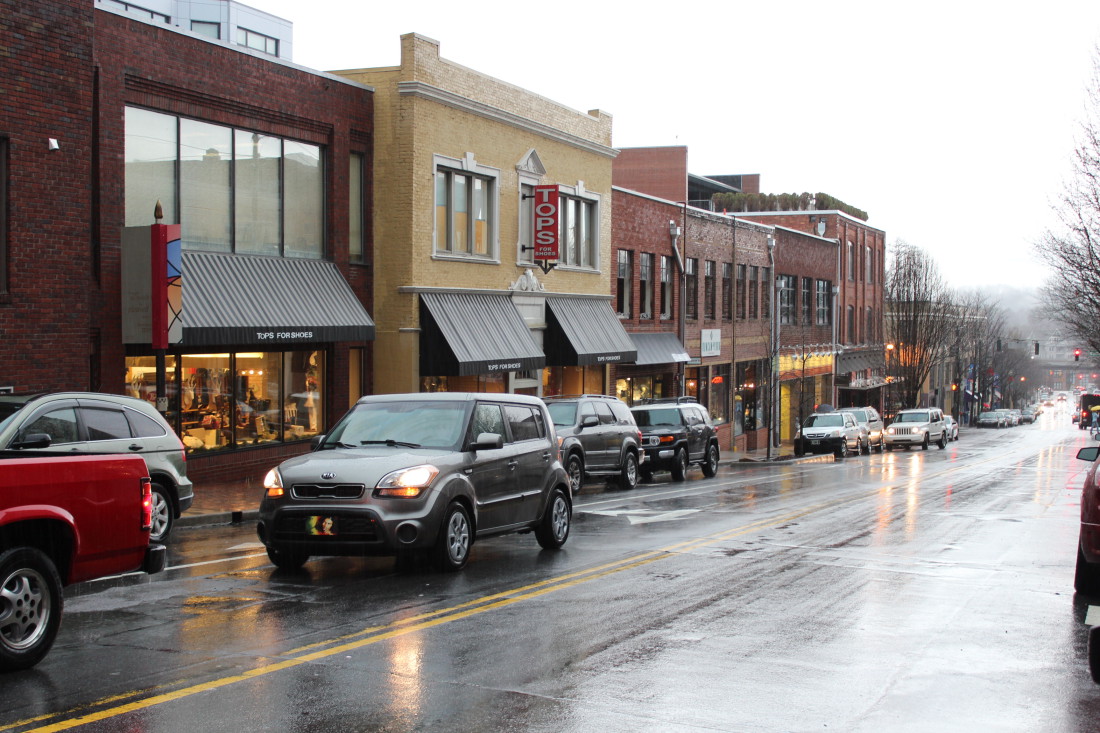
Two days to go in 2015, and what better weather for looking back on the year and planning for 2016?
As you make your resolutions or set your intentions for the coming year, plan for rain off and on throughout Wednesday, Dec. 30, with the possibility of thunderstorms in the afternoon. Except for possible isolated storms, the new rainfall totals won’t amount to much during the day and overnight — less than 1/2 an inch is forecast before tomorrow morning.
According to the National Weather Service, today’s high will be around 64, with a low overnight around 48.
Tomorrow the chance of rain decreases to 20%, and clouds will give way to sun at times. Temperatures will cool down, with an expected high around 54 tomorrow and a chilly New Year’s Eve with a low around 39.
New Year’s Day will be mostly cloudy and cooler, with a daytime high around 46, dropping to around 26 overnight.
Since peaking around 20,000 cubic feet per second yesterday, or just over nine feet, the French Broad at Asheville has dropped back to 10,000 cubic feet or six feet by mid-morning on Wednesday. The U.S. Geological Survey website lists eight feet as flood stage.
The Swannanoa River at Biltmore has also dropped back to well below flood stage after briefly peaking over two feet above flood stage yesterday.
A National Weather Service flood watch for the area has been cancelled.


