
From the Institute for Climate Education at A-B Tech:
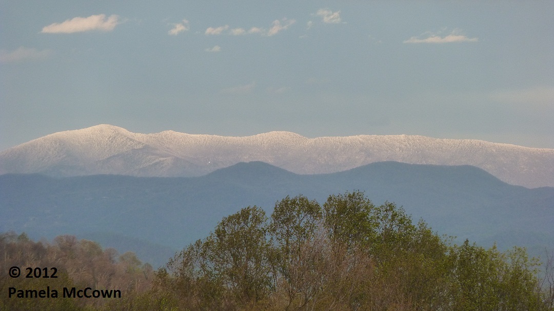
The Black Mountains didn’t live up to their name on Monday afternoon, April 23, when they got blanketed with about 2 inches of snow.
While snow in April is not unheard of in Western North Carolina, this past weekend’s snow event seemed out of place, partly because we had such a warm March. Many folks reported seeing snowflakes in and around Asheville on Sunday, April 22, but it was the higher elevations where there was enough snow to accumulate, turning spring back into winter — at least temporarily.
The map below shows where most of the snowfall accumulation took place across the region. Areas in white received at least a dusting of snow and the darker blue colors indicate where the heaviest snowfall occurred.

And …. that wasn’t all. Snow showers fell at the higher elevations on Tuesday afternoon, April 24, as the next weather-maker brought additional precipitation into the region. But as things warmed up, Thursday, April 26, thunderstorms brought marble-size hail to the area.
That’s spring in WNC.